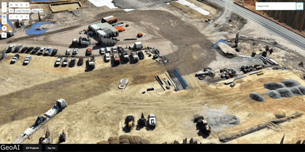
GeoAI Viewer
GeoAI Viewer is a cutting-edge platform that enables real-time access to detailed 3D digital twins for construction projects. It combines advanced data acquisition tools and photogrammetry to deliver accurate, immersive models, ensuring easy collaboration and informed decision-making for all stakeholders. This viewer can be useful for any other project such as vegetation analysis, asset management, and city-level mapping.
How GeoAI Create Digital Twin?
GeoAI’s 3D digital twin technology for construction projects is developed with precision and expertise. The process begins with data acquisition, where GeoAI’s certified surveyors use advanced tools, including drone-based and ground-based LiDAR, high-resolution cameras, and 360-degree cameras for panoramic views.
The collected data is then processed by GeoAI engineers using photogrammetry, a technology that ensures accurate and efficient 2D and 3D reconstruction of the project. Once the reconstruction is complete, the data is uploaded to GeoAI’s viewer website, making it easily accessible to all stakeholders.
The entire process, from data collection to making the digital twin available online, takes just 3 to 4 hours, ensuring real-time updates and continuous project monitoring.
