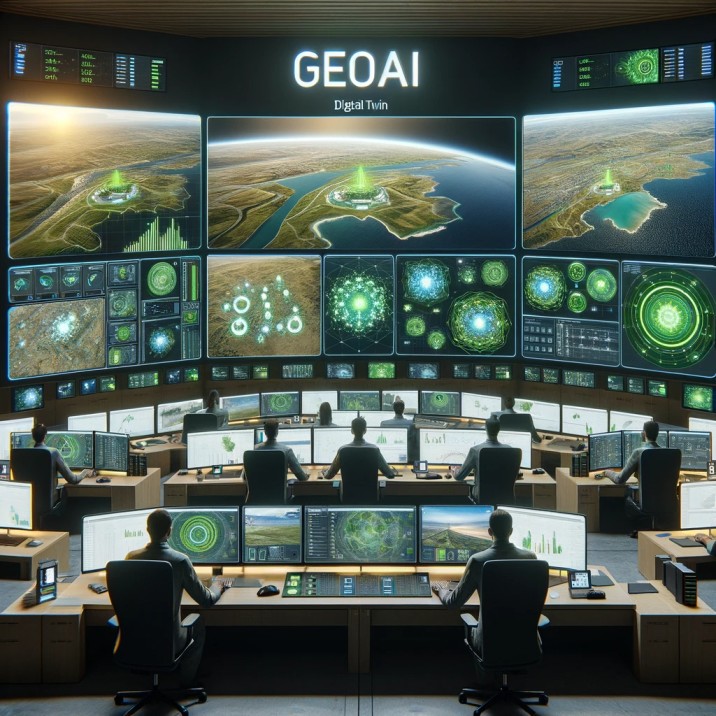
What is GeoAI?
Unleashing the Power of Geospatial Artificial Intelligence (GeoAI): A Comprehensive Guide
Introduction:
Geospatial Artificial Intelligence (GeoAI) has emerged as a transformative technology. We integrate the advantages of geospatial data with advanced analytics using Artificial Intelligence to revolutionize decision-making processes. This article will discuss into the essence of GeoAI, highlighting the sources of geospatial data and the essential tools used. Additionally, we explore real-world examples of Geo AI implementations to showcase the diverse applications of this cutting-edge technology.
Understanding GeoAI:
Geo AI represents the fusion of geospatial data and artificial intelligence. We offer unparalleled insights into spatial relationships and patterns. By leveraging technologies such as high resolution camera, Unmanned Aerial Vehicles (UAVs) and satellite imagery, GeoAI captures geospatial data. This data then will be processed with advanced Artificial Intelligence algorithm to facilitate data-driven decision-making.
Data Sources for GeoAI Technology
- UAVs (Unmanned Aerial Vehicles): UAVs equipped with advanced sensors capture high-resolution images and other geospatial data, providing a dynamic and up-to-date view of the earth’s surface. This data is valuable for applications such as environmental monitoring, agriculture, and disaster response.
- Satellite Imagery: Satellites orbiting the Earth capture vast amounts of imagery, enabling a global perspective. Satellite data is crucial for monitoring large-scale environmental changes, tracking deforestation, and assessing the impact of urbanization.
- Ground-Based Sensors: In addition to aerial and satellite data, ground-based sensors contribute real-time information. These sensors, deployed in various environments, enhance the accuracy and reliability of geospatial data, especially in urban planning and infrastructure management.
Category List
- 3D Point Cloud
- Artificial Intelligence
- Asset Management
- Digital Twin
- Featured
- Hardware
- Knowledge Graph
- LiDAR
- News
- Site Monitoring
- Vegetation Monitoring
- Virtual Reality
Recent Post
- Scan-to-BIM Workflow Explained: From LiDAR Point Cloud to BIM Model
- As-Built Drawing Survey Sydney: LiDAR Verification for Construction Projects
- Digital Twin for Construction Projects – How LiDAR Powers Real-Time Site Models
- Road Asset Management Sydney
- Pavement Condition Survey: AI-Powered Road Assessment for Local Councils
Tools for GeoAI Technology
- Machine Learning Algorithms: GeoAI heavily relies on machine learning algorithms for image classification, object detection, and spatial analysis. These algorithms enable the extraction of meaningful patterns and insights from large volumes of geospatial data.
- Geographic Information Systems (GIS): GIS platforms serve as the backbone of GeoAI, providing tools for mapping, spatial analysis, and visualization. They facilitate the integration of diverse geospatial datasets and support decision-making across various domains.
- Remote Sensing Software: Specialized software for remote sensing tasks, such as image processing and analysis, plays a vital role in extracting actionable information from satellite and UAV imagery. These tools contribute to environmental monitoring, agriculture, and land-use planning.
- Knowledge Graph: Knowledge graph serves the purpose of transforming unstructured data into a structured format. Given the diverse range of data sources for GeoAI technology, the Knowledge Graph functions as a valuable tool, enabling the representation of complex relationships and information in a more comprehensible manner. This aids in simplifying the understanding of complex data associated with GeoAI.
Examples of GeoAI Implementation
- Precision Agriculture: GeoAI optimizes agricultural practices by analyzing geospatial data from UAVs and satellites. Farmers can make informed decisions on crop health, irrigation, and resource allocation, leading to increased yields and resource efficiency.
- Urban Planning and Infrastructure Management: GIS and GeoAI are employed to plan and manage urban infrastructure. This includes optimizing transportation routes, monitoring land-use changes, and assessing the environmental impact of urban development.
- Natural Resource Management: GeoAI aids in the sustainable management of natural resources. By analyzing satellite data, organizations can monitor deforestation, assess biodiversity, and track changes in ecosystems, contributing to conservation efforts.
Conclusion: Geospatial Artificial Intelligence represents a convergence of powerful technologies, unlocking a wealth of opportunities for data-driven decision-making. As the world continues to generate vast amounts of geospatial data, GeoAI stands at the forefront, offering innovative solutions across diverse sectors. By understanding the synergy between geospatial data and advanced analytics, we can harness the full potential of GeoAI to address complex challenges and shape a more sustainable and informed future.