What is Near Infrared (NIR)?
As digital technologies continue to reshape infrastructure and environmental monitoring, near infrared (NIR) imaging is emerging as a vital tool for asset inspection, vegetation mapping, and material detection. At GeoAI, we integrate near infrared technology into our remote sensing workflows to provide deeper, more accurate insights for asset owners and infrastructure managers.
What is Near Infrared (NIR)?
Near infrared refers to the portion of the electromagnetic spectrum just beyond visible light, typically between 700 nm and 1,100 nm. We can capture NIR data by using specialized sensors, primarily via remote sensing techniques. The sensors are commonly used in drones, satellites, and ground-based platforms. Although invisible to the human eye, this wavelength range is highly effective at detecting differences in material properties, moisture content, and vegetation health.
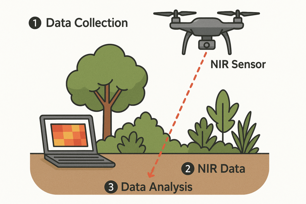
How Do We Capture Near Infrared Data?
Near infrared data can be collected from several sources, depending on the project’s scale and required resolution:
- Drones: Equipped with multispectral or hyperspectral cameras, drones offer flexibility and high-resolution NIR capture for localized surveys.
- Satellites: Platforms like Sentinel-2 or Landsat provide wide-area NIR imagery suitable for regional monitoring and historical comparisons.
- Vehicle-Mounted Systems: GeoAI integrates near infrared sensors with LiDAR and high-res cameras to scan infrastructure corridors quickly and safely.
- Handheld Sensors: Portable NIR tools can be used for detailed field inspections or material analysis on-site.
Applications of Near Infrared in Infrastructure and Asset Management
GeoAI uses near infrared imaging to support a wide range of applications:
- Vegetation Mapping: NIR helps identify vegetation classification, assess plant health, and detect changes in canopy cover.
- Thermal and Structural Inspection: When combined with other sensors, NIR data can highlight structural anomalies, surface deterioration, or insulation failures in built infrastructure.
- Land Use and Environmental Monitoring: NIR imaging supports broader environmental assessments, from flood risk evaluation to land degradation monitoring. We can automating Land use and Land Cover Analysis by using NIR. Then, we use this data to calculate Normalized Difference Vegetation Index (NDVI) which important for image segmentation process.
Benefits of Using Near Infrared for Asset Management
At GeoAI, we deploy drones and mobile platforms equipped with near infrared sensors to scan assets in high resolution. We process the NIR data to extracts features, classifies anomalies, and integrates results into geospatial systems for visualization and reporting. Organisations that adopt near infrared imaging benefit from:
- Faster, non-destructive assessments
- More accurate vegetation and material analysis
- Reduced reliance on manual inspections
- Enhanced reporting with multispectral data
- Cost-effective long-term monitoring solutions
Future of Near Infrared in Smart Infrastructure
As sensor technologies improve and AI models become more robust, the use of near infrared in asset management will continue to grow. At GeoAI, we’re actively researching ways to combine NIR data with machine learning to detect hidden risks, automate inspections, and build smarter, more resilient infrastructure systems.
📞 Ready to Get Started?
Let’s future-proof your building maintenance with GeoAI.
👉 Contact us today to book a free consultation and see how our asset management system can work for your property.
📧 admin@geoai.au
🌐 geoai.au
📍 34-36 Byrnes St, Botany NSW 2019
Category List
- 3D Point Cloud
- Artificial Intelligence
- Asset Management
- Digital Twin
- Featured
- Hardware
- Knowledge Graph
- LiDAR
- News
- Site Monitoring
- Vegetation Monitoring
- Virtual Reality
Recent Post
- Pavement Crack Detection using AI and LiDAR
- Pavement Defect Detection with GeoAI: Harnessing Laser Scanners and Profilers
- Asset Inventory Mapping with GeoAI: Complete Road Asset Capture Using Laser Scanning and Profiling
- Mobile Laser Scanner and Laser Profiler: Dual Approach to Road Surface Condition Surveys
- Edge Pavement Detection: Using LiDAR and AI for Road Asset Management