Expanding LiDAR Applications for Asset Management
LiDAR (Light Detection and Ranging) has become one of the most powerful tools in modern geospatial data collection. By using laser pulses to measure distance and generate millions of 3D points, LiDAR provides a detailed digital view of the world’s surfaces such as terrain, vegetation, and built infrastructure.
At GeoAI, LiDAR plays a vital role in building accurate and data-rich digital twins for construction, asset management, and environmental monitoring. With our advanced scanning systems, including our newly integrated GreenValley M2, we can now collect denser and more accurate LiDAR point clouds faster and more efficiently than ever before.
How LiDAR Works
LiDAR works by emitting laser pulses from a sensor and measuring how long they take to reflect back from objects on the ground. The system records each point’s position in three dimensions (x, y, z), creating a highly detailed point cloud. When combined with GPS and IMU data, LiDAR accurately maps terrain and structures even in challenging environments or under dense vegetation.
Depending on the setup, LiDAR can be mounted on vehicles, UAVs, or tripods. Each configuration serves a specific purpose. Mobile LiDAR is used for road corridors, UAV LiDAR for large-area terrain mapping, and terrestrial LiDAR for structural inspections.
LiDAR Applications in GeoAI’s Services
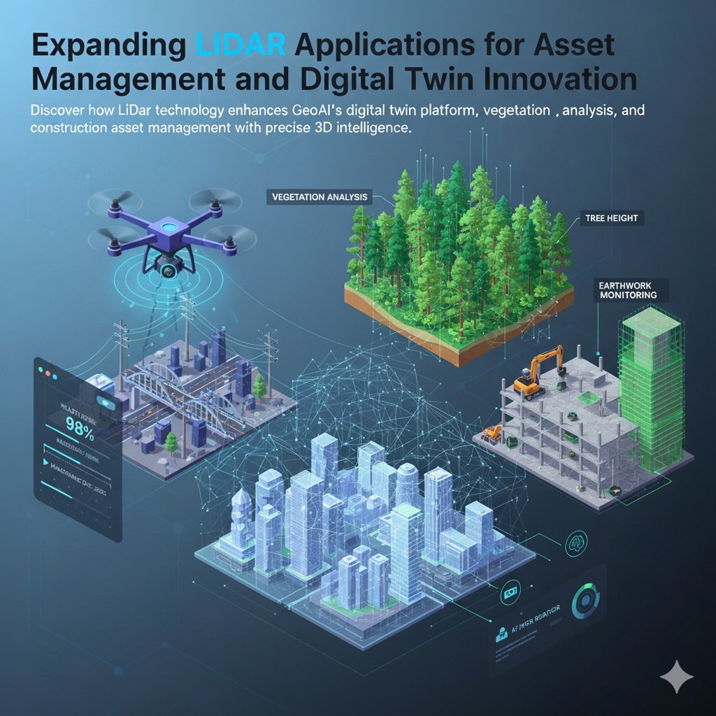
1. Asset Management and Infrastructure Maintenance
LiDAR enables us to monitor infrastructure conditions with precision. Bridges, roads, tunnels, and utilities can be scanned in 3D to assess surface deformation, cracks, or settlement over time. The resulting models become part of GeoAI’s digital twin environment. This approach allows asset owners to visualize changes and plan maintenance proactively.
With LiDAR-based inspections, we can detect issues early, reduce repair costs and extend the life of public and private infrastructure.
2. Construction and Earthwork Monitoring
For construction management, LiDAR offers unmatched accuracy for tracking site progress and comparing as-built conditions against design models. High-resolution point clouds allow precise volume calculations for earthworks, foundation checks, and slope verification.
Contractors and project managers can access these datasets in GeoAI’s 3D digital twin viewer. Every stakeholder also an collaborate and make decision in a more transparent and easy way.
3. Vegetation and Environmental Analysis
LiDAR’s ability to record multiple returns from a single laser pulse allows it to distinguish between canopy and ground surfaces. This feature makes it invaluable for vegetation studies. It can analyze tree height, canopy density, and vegetation encroachment along infrastructure corridors.
By separating vegetation layers from the ground, LiDAR supports environmental planning, erosion control, and carbon storage estimation. These insights help ensure sustainability in construction and asset maintenance operations.
4. Terrain Modeling and Flood Risk Assessment
LiDAR captures accurate ground elevation data, even through dense vegetation, enabling the creation of Digital Elevation Models (DEMs) and Digital Terrain Models (DTMs). These models are essential for understanding drainage patterns, slope behavior, and flood risk zones. At GeoAI, we use these models to support both construction site design and long-term asset resilience planning.
5. Digital Twin Development
The real value of LiDAR emerges when combined with GeoAI’s digital twin platform. Each LiDAR scan contributes to a living 3D environment where terrain, structures, and vegetation are continuously updated. Through AI-driven analysis, we can detect changes, simulate scenarios, and integrate real-time sensor data for predictive maintenance and performance optimization. LiDAR provides the geometric accuracy that ensures these digital twins truly reflect the real world.
Benefits of LiDAR for GeoAI Clients
- High spatial accuracy – centimeter-level precision for terrain and structural mapping
- Fast data collection – mobile or drone-based systems cover large areas efficiently
- Vegetation penetration – multi-return lasers detect ground levels under canopy cover
- Comprehensive visualization – seamless integration with 3D GIS and digital twins
- Improved safety – remote scanning minimizes field exposure in hazardous areas
LiDAR helps GeoAI deliver reliable spatial intelligence for clients in construction, transportation, utilities, and environmental management.
How GeoAI Uses LiDAR Data
After scanning, we process LiDAR point clouds using AI-assisted algorithms to classify terrain, buildings, and vegetation. These classified datasets are then integrated into GeoAI’s digital twin system, where users can:
- Visualize assets and topography in 3D
- Measure distance, volume, and elevation differences
- Track infrastructure health over time
- Plan maintenance and construction activities
- Monitor vegetation growth and encroachment
By combining LiDAR data with satellite imagery, drone photogrammetry, and IoT sensors, GeoAI provides a full-spectrum solution that connects spatial data with intelligent asset management.
Looking Forward
The integration of LiDAR technology marks another step forward in GeoAI’s commitment to accurate, data-driven infrastructure management. As we continue to refine our AI and digital twin frameworks, LiDAR remains the backbone of transforming raw geospatial data into actionable insights that improve safety, efficiency, and sustainability across various industries.
Frequently Asked Question (FAQ)
LiDAR provides accurate 3D measurements of terrain, vegetation, and infrastructure, enabling digital twin visualization, progress tracking, and asset monitoring.
The M2 offers long-range, multi-return scanning with integrated GNSS and RGB imagery, making it ideal for both urban and natural environments.
LiDAR data forms the foundation of GeoAI’s digital twins, providing precise surface geometry that can be updated regularly for real-time visualization and analysis.
Yes. The GreenValley M2 records multiple returns per laser pulse, allowing the identification of canopy height, density, and ground levels beneath vegetation.
We deploy LiDAR across Australia for construction projects, asset management, vegetation mapping, and infrastructure monitoring.
Category List
- 3D Point Cloud
- Artificial Intelligence
- Asset Management
- Digital Twin
- Featured
- Hardware
- Knowledge Graph
- LiDAR
- News
- Site Monitoring
- Vegetation Monitoring
- Virtual Reality
Recent Post
- Pavement Defect Detection with GeoAI: Harnessing Laser Scanners and Profilers
- Asset Inventory Mapping with GeoAI: Complete Road Asset Capture Using Laser Scanning and Profiling
- Mobile Laser Scanner and Laser Profiler: Dual Approach to Road Surface Condition Surveys
- Edge Pavement Detection: Using LiDAR and AI for Road Asset Management
- What is Digital Surface Model (DSM)?