Mobile Laser Scanning vs Terrestrial Laser Scanning Comparison
When comparing Mobile Laser Scanning vs Terrestrial Laser Scanning, it becomes evident that each method presents unique strengths and weaknesses. Both technologies have transformed the field of geospatial data acquisition, offering unparalleled capabilities for capturing three-dimensional information. However, understanding the specific advantages and limitations of each is essential for selecting the most suitable approach for a given application. From rapid data acquisition and extensive coverage to high-resolution point cloud generation and precise measurements, Mobile Laser Scanning (MLS) and Terrestrial Laser Scanning (TLS) each contribute distinct benefits to various industries and disciplines. By exploring the nuances of MLS and TLS, stakeholders can make informed decisions to optimize their projects and achieve superior outcomes.
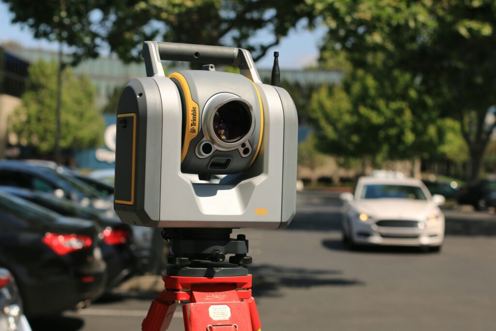
MLS vs TLS Comparison
Time
Terrestrial Laser Scanning (TLS) and Mobile Laser Scanning (MLS) differ significantly in their time efficiency. MLS offers a rapid data capture of wide corridor-like areas due to its mobile platform, making it well-suited for large-scale projects requiring extensive coverage. In contrast, TLS, especially in static or multi-static recordings, requires more time for data acquisition, making it better suited for smaller-scale projects or areas where precision is paramount.
Density of Point Cloud
TLS excels in capturing dense and accurate 3D point clouds, particularly in static or multi-static recordings, making it highly suitable for detailed analysis and modeling, such as in forest plots. However, MLS also provides impressive point cloud density, albeit with some trade-offs due to its mobile platform, making it suitable for projects requiring a balance between coverage and density.
Quality
TLS and MLS offer varying degrees of data quality depending on the application and recording method. TLS provides exceptional data quality, especially in static recordings, allowing for precise measurements and detailed analysis. Conversely, MLS may sacrifice some data quality for speed and efficiency, particularly in dynamic environments or areas with challenging terrain. However, advancements in MLS technology continue to improve data quality, narrowing the gap between TLS and MLS in terms of accuracy and resolution.
Coverage Area
MLS surpasses TLS in coverage area, offering the ability to capture wide corridor-like areas efficiently due to its mobile platform. This makes MLS particularly advantageous for large-scale projects requiring extensive coverage, such as transportation infrastructure or urban mapping. In contrast, TLS has limitations in coverage area, making it more suitable for smaller-scale projects or applications where precision and detail are prioritized over coverage.
Conclusion
MLS excels in capturing extensive areas quickly and efficiently, making it ideal for large-scale projects such as city mapping, transportation infrastructure monitoring, and environmental surveys. TLS, on the other hand, provides higher resolution and accuracy for detailed scans of smaller areas, making it well-suited for architectural documentation, cultural heritage preservation, and forensic investigations. Ultimately, the choice between MLS and TLS depends on the specific requirements of the project, including the scale, accuracy, and level of detail needed.
Category List
- 3D Point Cloud
- Artificial Intelligence
- Asset Management
- Digital Twin
- Featured
- Hardware
- Knowledge Graph
- LiDAR
- News
- Site Monitoring
- Vegetation Monitoring
- Virtual Reality
Recent Post
- Road Asset Management Sydney
- Pavement Condition Survey: AI-Powered Road Assessment for Local Councils
- LiDAR Road Survey Sydney: Mobile Scanning for Councils and Transport Authorities
- Geospatial AI for Infrastructure: How GeoAI Is Transforming Australia’s Road Networks
- Smart City Infrastructure Monitoring for Civil Engineers Using LiDAR and AI