Laser Scanning Technology
What is Laser Scanning?
Laser scanning, also known as LiDAR (Light Detection and Ranging), is a groundbreaking technology that captures precise three-dimensional information of objects and environments using laser pulses. At its core, laser scanning involves emitting laser beams towards a target surface and measuring the time it takes for the light to return, thus creating highly accurate point cloud data. This data can be utilized for a range of applications across various industries, including architecture, construction, archaeology, forestry, and urban planning.
What Data Obtained from Laser Scanning?
From laser scanning, we can obtain 3D point cloud data. With 3D point cloud processing, it can provide us with a detailed and accurate representations of physical spaces, structures, and landscapes. This includes capturing intricate surface details, measuring distances, analyzing geometries, detecting changes over time, and creating realistic 3D models for visualization and analysis purposes. Additionally, laser scanning enables precise measurements, facilitating tasks such as building information modeling (BIM), volume calculations, and as-built documentation.
Type of Laser Scanning Technology
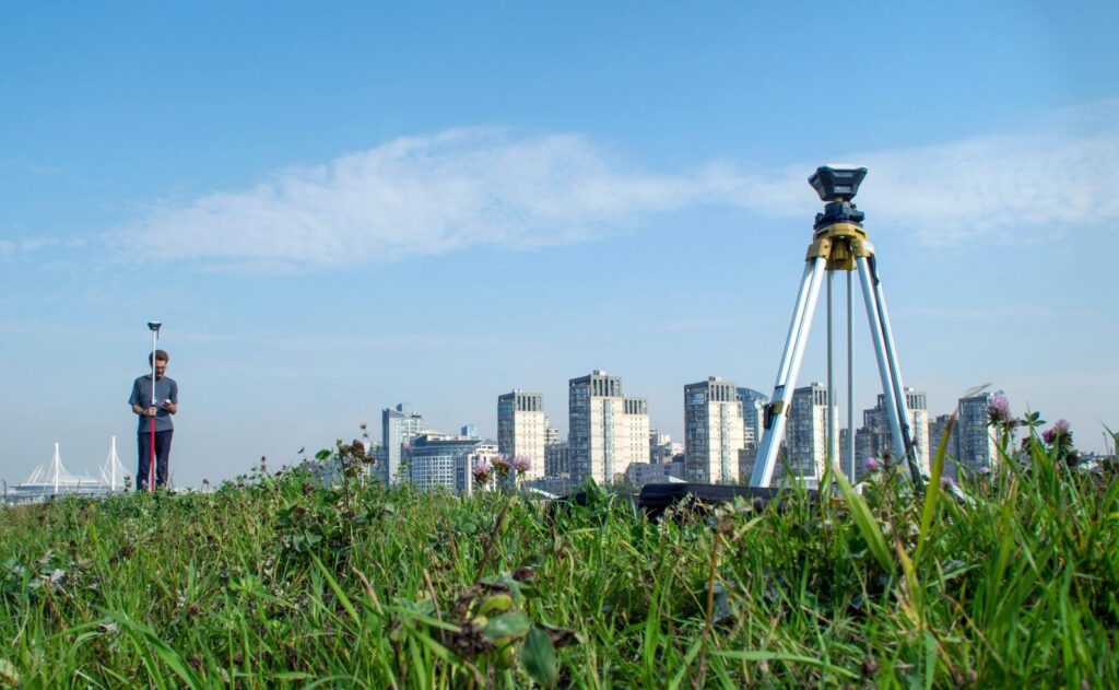
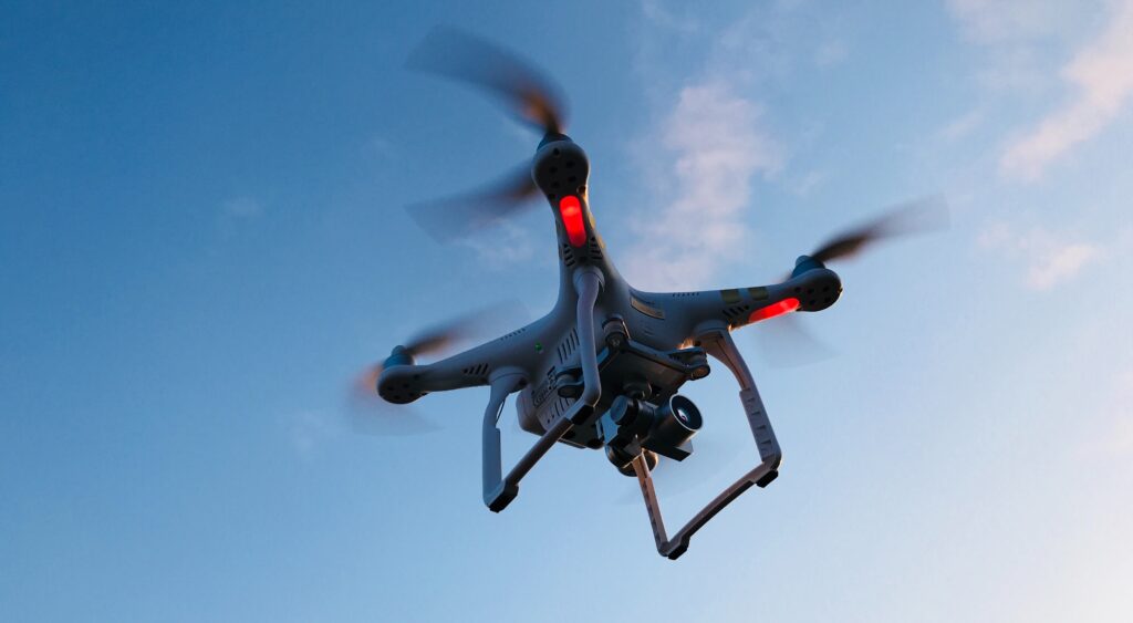
Laser scanning technology encompasses various methodologies tailored to specific applications, including Airborne Laser Scanning (ALS), Mobile Laser Scanning (MLS), and Terrestrial Laser Scanning (TLS). ALS involves mounting LiDAR sensors on aircraft to capture high-resolution point cloud data over large areas efficiently. It is commonly used for topographic mapping, forest inventory, and geological surveys due to its ability to cover vast terrains rapidly. MLS employs LiDAR sensors mounted on vehicles, such as cars or drones, to capture detailed 3D data while in motion. This technique is ideal for mapping urban environments, transportation infrastructure, and utility networks. TLS utilizes stationary LiDAR scanners to capture precise point clouds of smaller areas with high accuracy and resolution. It is frequently utilized in architectural documentation, cultural heritage preservation, and engineering surveys. Each method offers unique advantages, catering to diverse spatial data acquisition needs across industries.
Category List
- 3D Point Cloud
- Artificial Intelligence
- Asset Management
- Digital Twin
- Featured
- Hardware
- Knowledge Graph
- LiDAR
- News
- Site Monitoring
- Vegetation Monitoring
- Virtual Reality
Recent Post
- Scan-to-BIM Workflow Explained: From LiDAR Point Cloud to BIM Model
- As-Built Drawing Survey Sydney: LiDAR Verification for Construction Projects
- Digital Twin for Construction Projects – How LiDAR Powers Real-Time Site Models
- Road Asset Management Sydney
- Pavement Condition Survey: AI-Powered Road Assessment for Local Councils
Example of Laser Scanning Application
Laser scanning finds applications across diverse industries and fields, revolutionizing how we gather, analyze, and utilize spatial data. Here are some examples:
Example in Architectural, Engineering, and Construction Industry
- Construction and Architecture. In AEC industry, laser scanning is used to capture precise measurements of construction sites, existing structures, and architectural elements. This data aids in design, renovation, and retrofitting projects, ensuring accuracy and efficiency throughout the construction process
- Urban Planning and Development. Urban planners leverage laser scanning to create detailed 3D models of cities and urban environments. As a result, this information helps in analyzing infrastructure, optimizing traffic flow, identifying potential hazards, and developing sustainable urban designs.
- Civil Engineering and Infrastructure. Laser scanning plays a crucial role in infrastructure projects such as roads, bridges, and railways. Engineers use it for as-built documentation, deformation analysis, and detecting structural defects. It can contributes to the maintenance and safety of critical infrastructure systems.
- Cultural Heritage Preservation. Laser scanning aids in the preservation of cultural heritage sites, monuments, and artifacts by creating detailed digital replicas. Therefore, it can assists archaeologists, historians, and conservationists in documenting, analyzing, and restoring cultural treasures with precision and accuracy from the 3D point cloud data.
Example in Other Industry
- Forestry and Environmental Management. Laser scanning provides valuable data for forest inventory, monitoring vegetation health, and assessing environmental changes over time. It aids in forest management, wildfire detection, and conservation efforts. The 3D point cloud can provides accurate information about tree density, canopy cover, and topographical features.
- Mining and Geology. In the mining industry, laser scanning is utilized for exploration, surveying, and monitoring of mine sites. It assists in mapping geological formations and calculating volumes of extracted materials. Moreover, the technology can ensure the safety of mining operations by identifying potential hazards.
- Emergency Response and Disaster Management. Laser scanning enables rapid assessment of disaster-affected areas, facilitating search and rescue efforts, damage assessment, and recovery operations. It provides valuable spatial information to emergency responders for efficient decision-making during crises.
- Industrial Manufacturing and Quality Control. Laser scanning is employed in industrial settings for quality control, reverse engineering, and dimensional inspection of manufactured parts and components. The technology can provides us with 3D information of the object. As a result, the industry can make a prototype of the product before moves to the mass production stage.
In conclusion, these examples illustrate the versatility and importance of laser scanning technology across various sectors. Laser scanning is one of key technology in modern data collectio