Artificial Intelligence
GeoAI is at the forefront of delivering cutting-edge Artificial Intelligence (AI) solutions across a diverse range of applications, not limited to Plant Monitoring but also encompassing Asset Management, Digital Twins, Knowledge Graphs, Project Site Monitoring, and Virtual Reality. Our services are underpinned by advanced AI techniques, particularly the use of Convolutional Neural Networks (CNNs), which are pivotal in processing and analyzing visual data with high efficiency and accuracy.
We leverage advanced AI to process and analyze visual data with exceptional speed and precision. This enables us to deliver cutting-edge solutions across diverse applications.
Artificial Intelligence for Asset Management
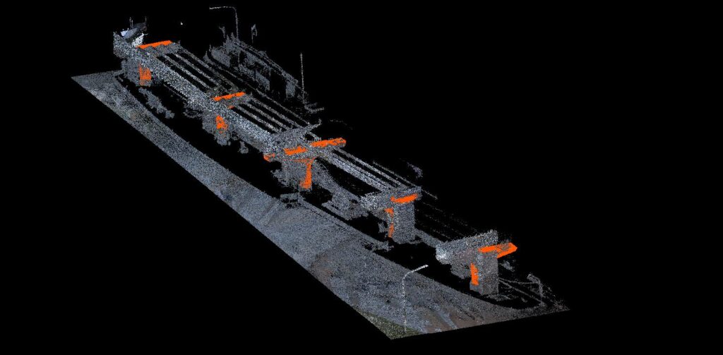
In Asset Management, we leverage CNNs to analyze images and videos for effective asset identification, condition assessment, and predictive maintenance. This AI-driven approach enables precise tracking and management of assets, reducing operational risks and improving lifecycle management.
Artificial Intelligence for Digital Twin
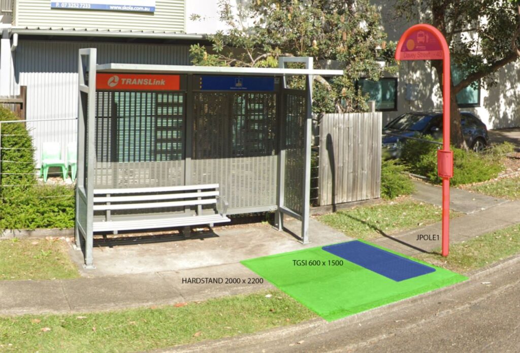
For Digital Twins, our CNN-powered solutions create dynamic and highly detailed representations of physical assets. By processing real-time data, these digital replicas offer invaluable insights into performance, maintenance needs, and optimization strategies, facilitating more informed decision-making.
Artificial Intelligence for Vegetation Analysis
GeoAI leverages artificial intelligence to revolutionize vegetation monitoring by automating key processes such as tree canopy cover detection, canopy height modeling, and ground-vegetation analysis. Advanced AI algorithms facilitate the calculation of vegetation health indices like NDVI (Normalized Difference Vegetation Index) and EVI (Enhanced Vegetation Index) to assess plant health and detect environmental stressors.
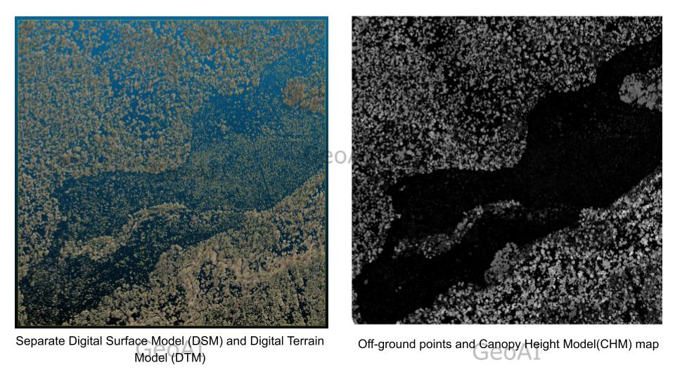
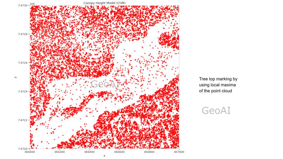
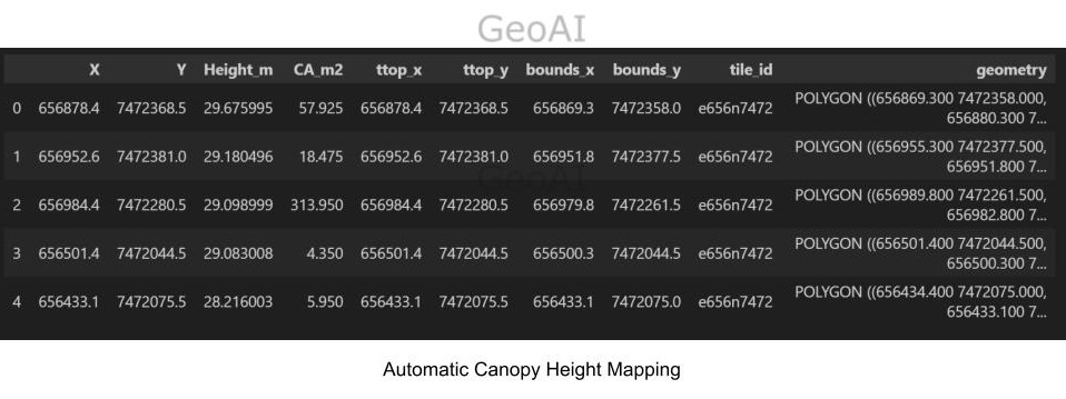
Moreover, GeoAI enables the classification of vegetation types and species with high precision, streamlining ecological studies and environmental management. These automated solutions not only enhance the efficiency and accuracy of vegetation monitoring but also provide actionable insights for vegetation mapping, sustainable land use and ecosystem preservation.

CNN and Knowledge Graph
In the realm of Knowledge Graphs, we integrate CNNs with other AI techniques to extract and structure information from various data sources. This synthesis of complex data into interconnected, accessible formats enhances data comprehensibility, supporting better analytics and insights.
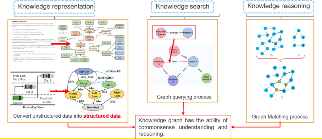
Artificial Intelligence for Site Monitoring
Our Project Site Monitoring solutions utilize machine learning to process aerial and satellite imagery. It can provides near real-time, and detailed analyses of construction or development sites. This aids in progress tracking, safety compliance, and efficient resource allocation, ensuring projects adhere to timelines and specifications.
Lastly, in Virtual Reality, CNNs play a crucial role in rendering realistic and interactive environments. By analyzing and interpreting visual inputs, these networks enhance the user experience in virtual simulations, training modules, and interactive walkthroughs. This technology is applicable across various industries.
Artificial Intelligence Agent for Construction Project
Construction companies handle a huge amounts of internal documents, systems, and procedures essential for maintaining compliance, ensuring efficiency, and streamlining project execution. Furthermore, a construction company need to incorporates project with specifications, codes, and standards. GeoAI customize an AI-powered agents that can revolutionize internal knowledge management. This agent has capability to provide instant access to company-specific information while maintaining security and confidentiality.
Imagine that you have an AI agent (such as chatGPT) specifically tailored to answer problems related to your work in construction company. This intelligent agent possesses in-depth industry knowledge and delivers responses as if from an experienced professional. Instead of spending hours searching through countless documents, you can get precise answers in seconds, significantly streamlining your workflow.
Overall, GeoAI’s expertise in harnessing the power of Artificial Intelligence across these domains showcases our commitment to delivering AI solutions that are not only technologically advanced but also tailored to meet the specific needs of diverse applications.
